The Pitch: The Whole World on One Screen
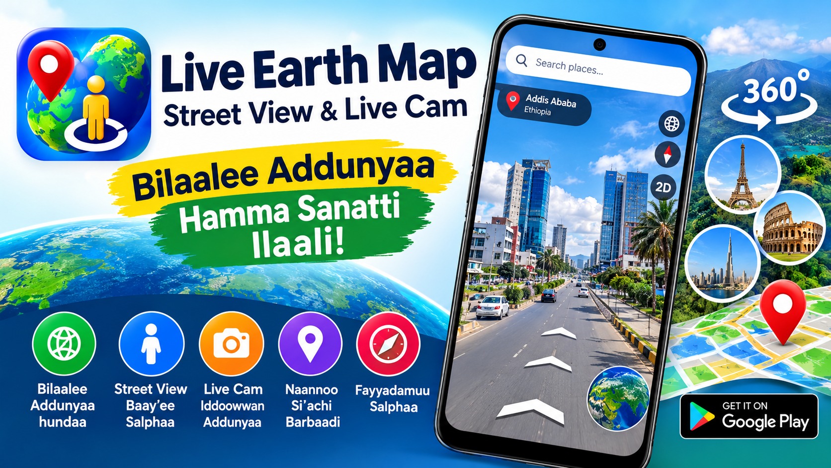
The idea behind Live Earth Map is undeniably appealing. The app promises a virtual world tour from your couch: live webcams from beaches, roads, and natural landscapes around the globe, combined with satellite and street views you can explore in 360 degrees. Developed by Alvva Inc., the app has passed 10 million downloads and collected around 124,000 ratings on the Google Play Store—numbers that suggest it's found a real audience. Beyond the map itself, it bundles in a location tracker, a speedometer, a compass, a nearby-places finder, and live traffic updates. On paper, it's a Swiss Army knife for armchair travelers and curious browsers alike.
What the App Actually Offers
The feature list is long, and it's worth knowing what you're getting before you install. The headline tools include:
- Live satellite map: zoomable satellite views of any location, plus quick access to your current position.
- Live webcams: HD camera feeds from locations worldwide, framed as a window into real-time life elsewhere.
- Location tracker and "My Tracks": record routes while you drive, save them, and share them later.
- Nearby places: find everyday essentials and points of interest around you.
- Live traffic: check conditions at your destination and plan a less congested route.
- Compass and speedometer: 360-degree directional readings and analog/digital speed displays for GPS navigation.
- Location sharing: send your position to friends and family with a tap.
That's a genuinely broad toolkit, and the app's small footprint means it's easy to keep on your device.
The Travel and Curiosity Angle
Where Live Earth Map shines conceptually is in trip planning and plain curiosity. Before visiting a destination, you can scout the route, check the satellite view, and—if a camera happens to be nearby—see a live video of the place you're heading to. The saved-locations feature lets you bookmark and name spots for later, and sharing those with friends and family turns the app into a lightweight planning companion. For anyone who enjoys exploring the globe from a desk chair, the combination of satellite imagery and live camera feeds is a genuinely fun way to pass an afternoon. The catch, as we'll see, is whether the underlying map data is actually current.
The Elephant in the Room: Ads and Outdated Maps
The reviews tell a consistent and pointed story, and it isn't flattering. One reviewer was blunt: "Very bad! Too many splash ads, and the map is old map data with no latest data." Another asked whether the maps ever update at all, estimating the imagery looked at least ten years old. A third was more frustrated still: "So disappointed—I came to look at maps, not ads. The ads can't even be closed and take up more than half the screen. Uninstalled." The developer's responses follow a pattern: apologize, invite the user to email support, and note that ads appear in the free version while the premium version is ad-free. That's a fair business model in principle—but when ads block half the screen, the free experience becomes hard to defend.
The Developer's Side of the Story
To be fair to Alvva Inc., the responses show an active support presence rather than silence. The team replies to negative reviews, offers email support, and consistently points users toward the premium tier for an ad-free experience. The company also states in its data safety section that the app collects no data, though it may share device IDs with third parties, and that data is encrypted in transit. That's a reasonably clean privacy posture on paper. But the gap between the marketing promise—"real-time" earth views—and user reports of decade-old imagery is the core credibility problem. A live map app lives or dies on the freshness of its data, and that's exactly where reviewers say it falls short.
Who Should Download It—and Who Should Skip It
The honest answer depends on what you want. This app is worth a try if:
- You're curious about live webcam feeds from around the world and treat it as casual entertainment.
- You want a free, all-in-one bundle of compass, speedometer, and location-sharing tools.
- You're willing to upgrade to the premium version to escape the ads.
You should probably look elsewhere if:
- You need current, accurate satellite imagery for navigation or planning.
- You expect a polished, ad-light free experience.
- You're relying on it as a primary GPS or traffic tool—specialized apps do those jobs better.
It's best understood as a novelty and convenience bundle, not a professional mapping solution.
The Verdict: Fun Idea, Frustrating Execution
Live Earth Map is a case study in a great concept undermined by execution details. The feature set is ambitious, the download numbers prove the demand, and the developer is responsive. But the two complaints that dominate the reviews—aggressive ads and stale map data—strike directly at the app's core value. A virtual world tour is only magical if the world you're touring feels real and current. If you go in expecting a free, ad-supported curiosity app rather than a reliable mapping tool, you may enjoy browsing the webcams and playing with the GPS extras. Just keep your expectations calibrated: the "live" in the name is doing more marketing work than the map data can back up.